Mt. Whitney / SEKI
Sunday, August 18, 2024 -
Monday, August 26, 2024 --
$2000
★★★★★, ONLY 2 SPOTS LEFT
Description
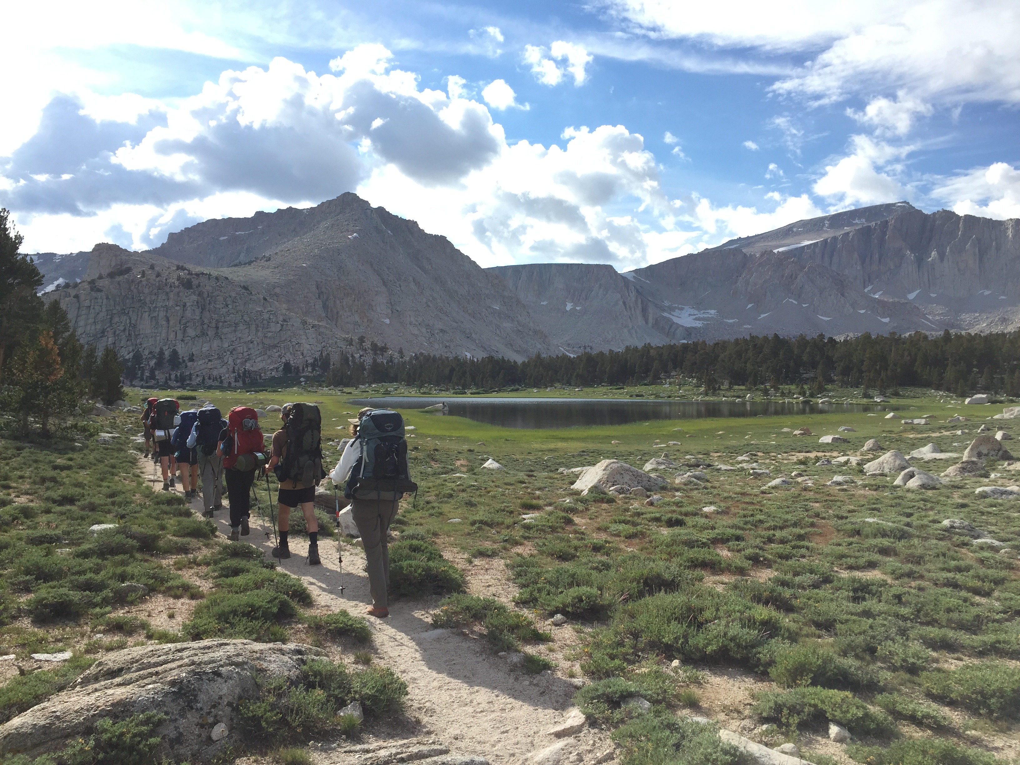
Summit the highest peak in the lower 48!
At 14,505' the summit of Mount Whitney is the highest point in the lower 48 of the United States.
You already know that summiting is a life-list goal for some and a nonpareil personal challenge that will
give you a great deal of personal satisfaction. And for the rest of your life, you can impress your
friends by casually mentioning your feat in conversation.
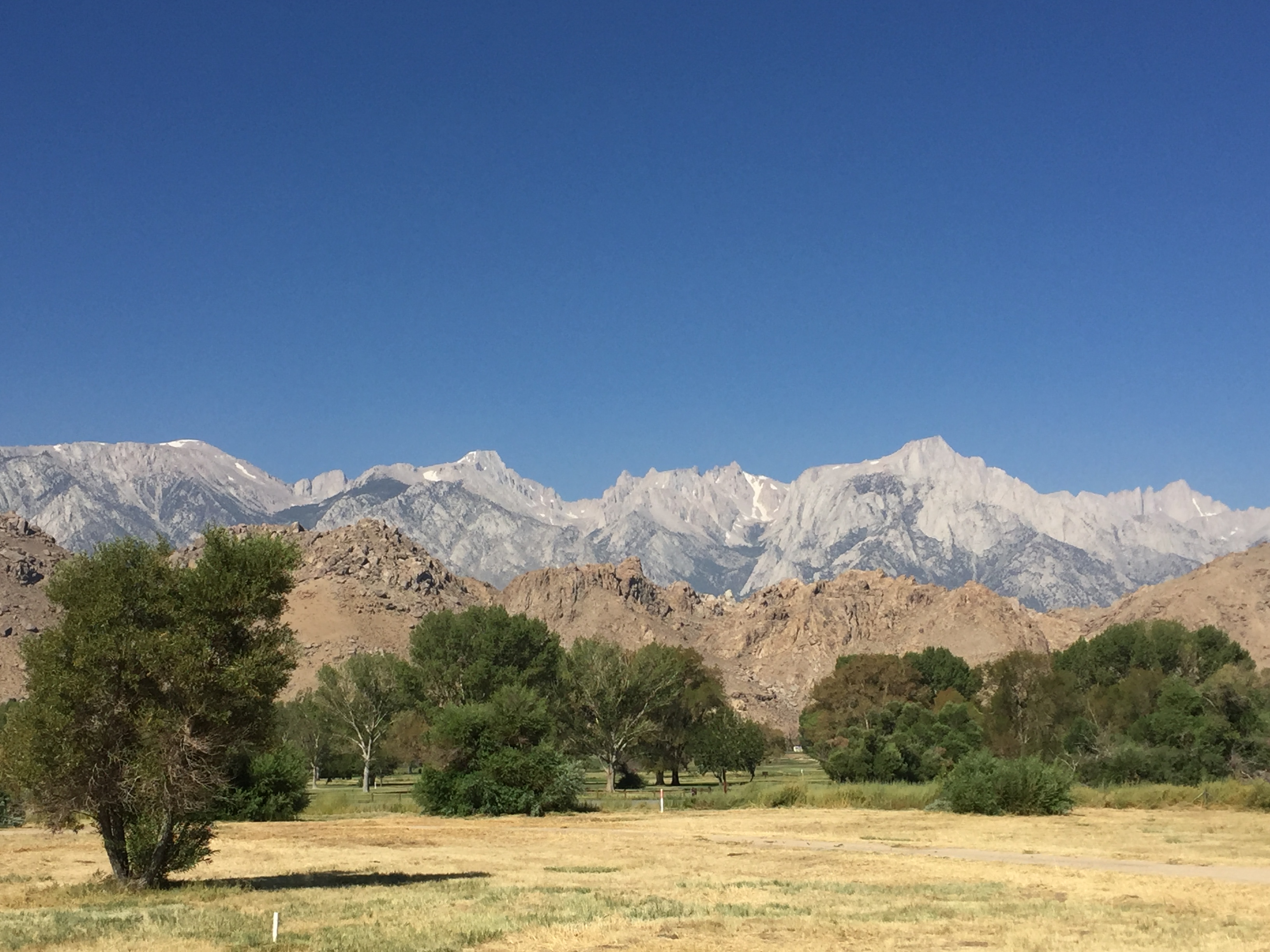
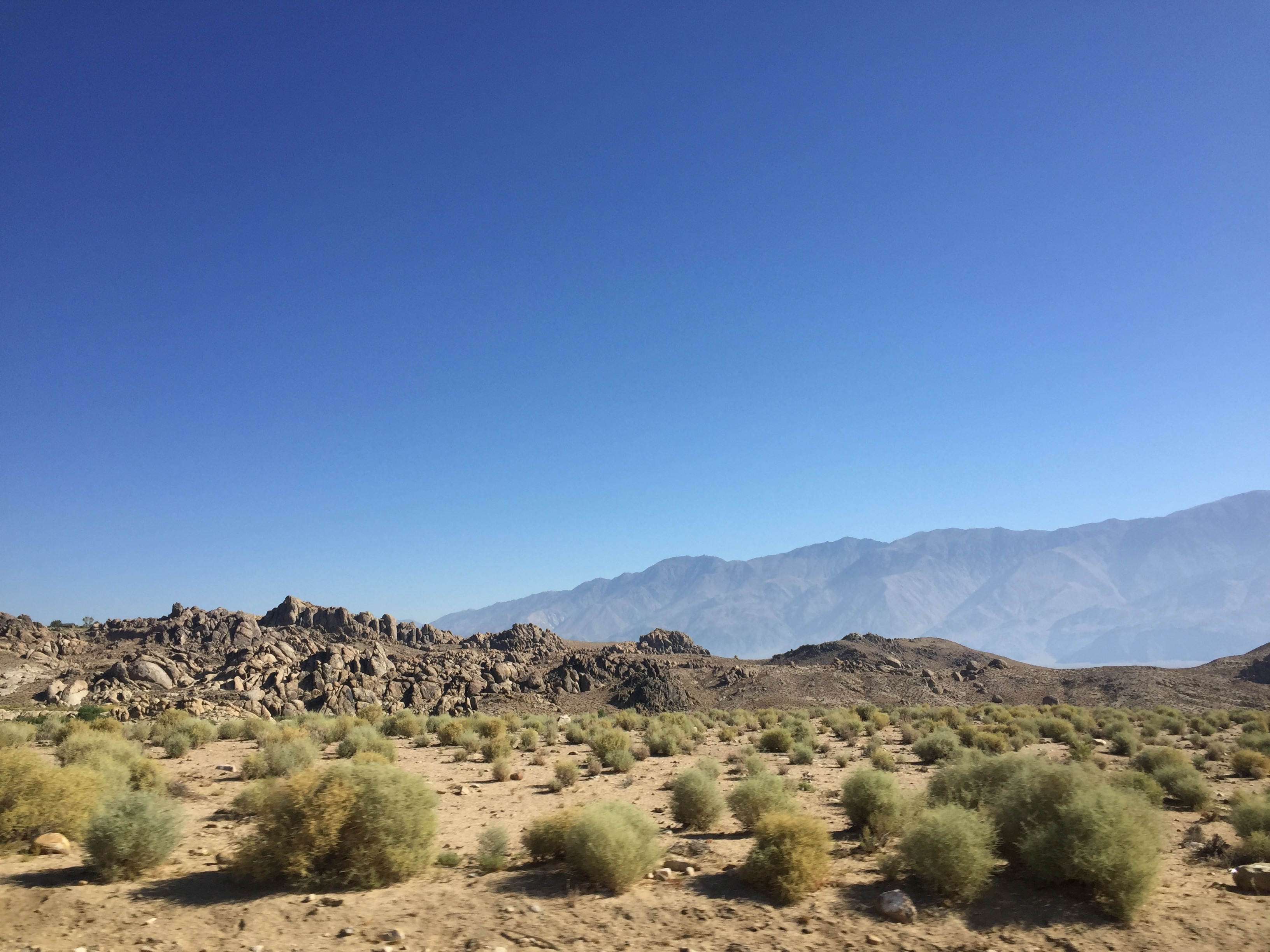
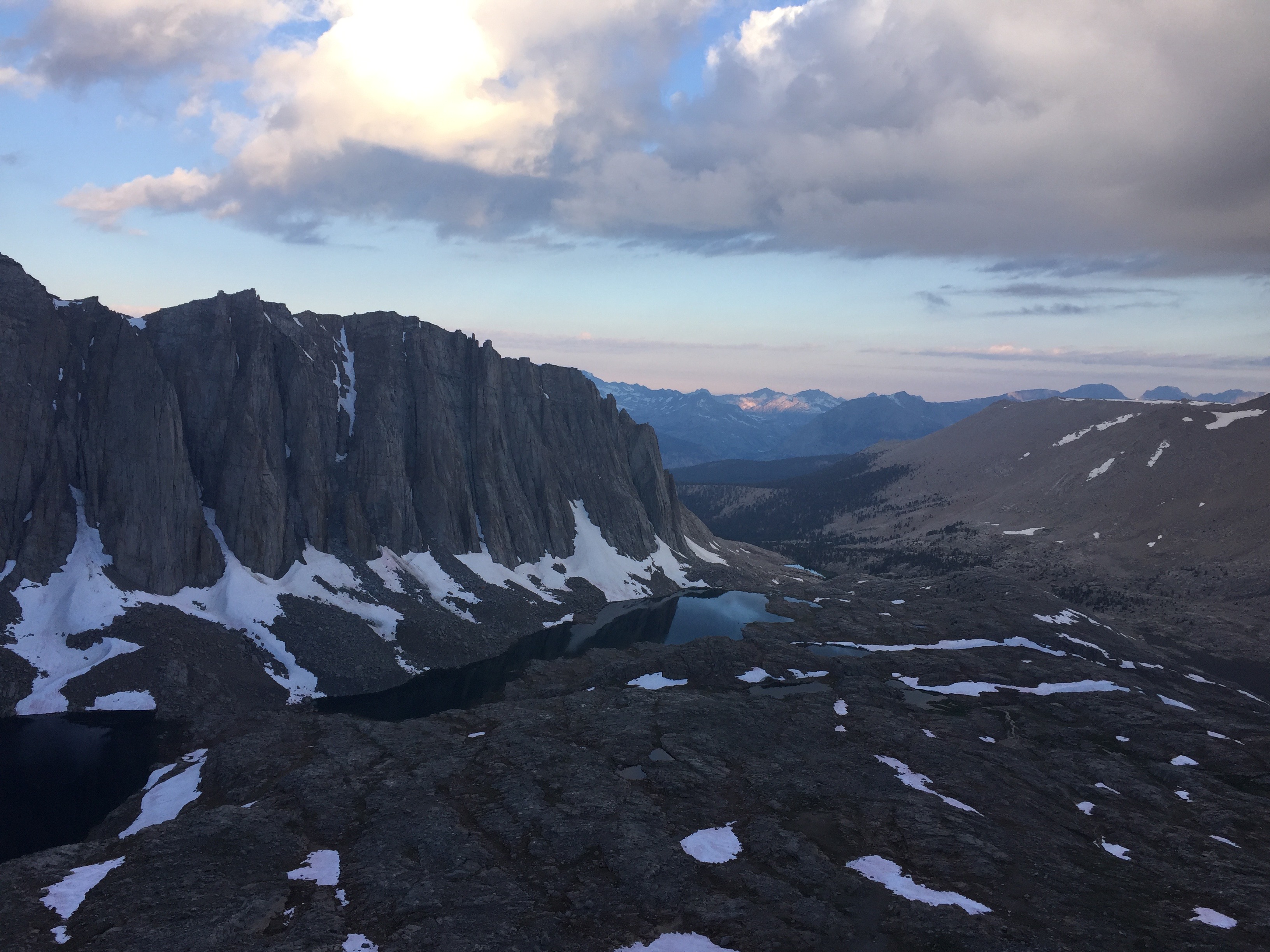
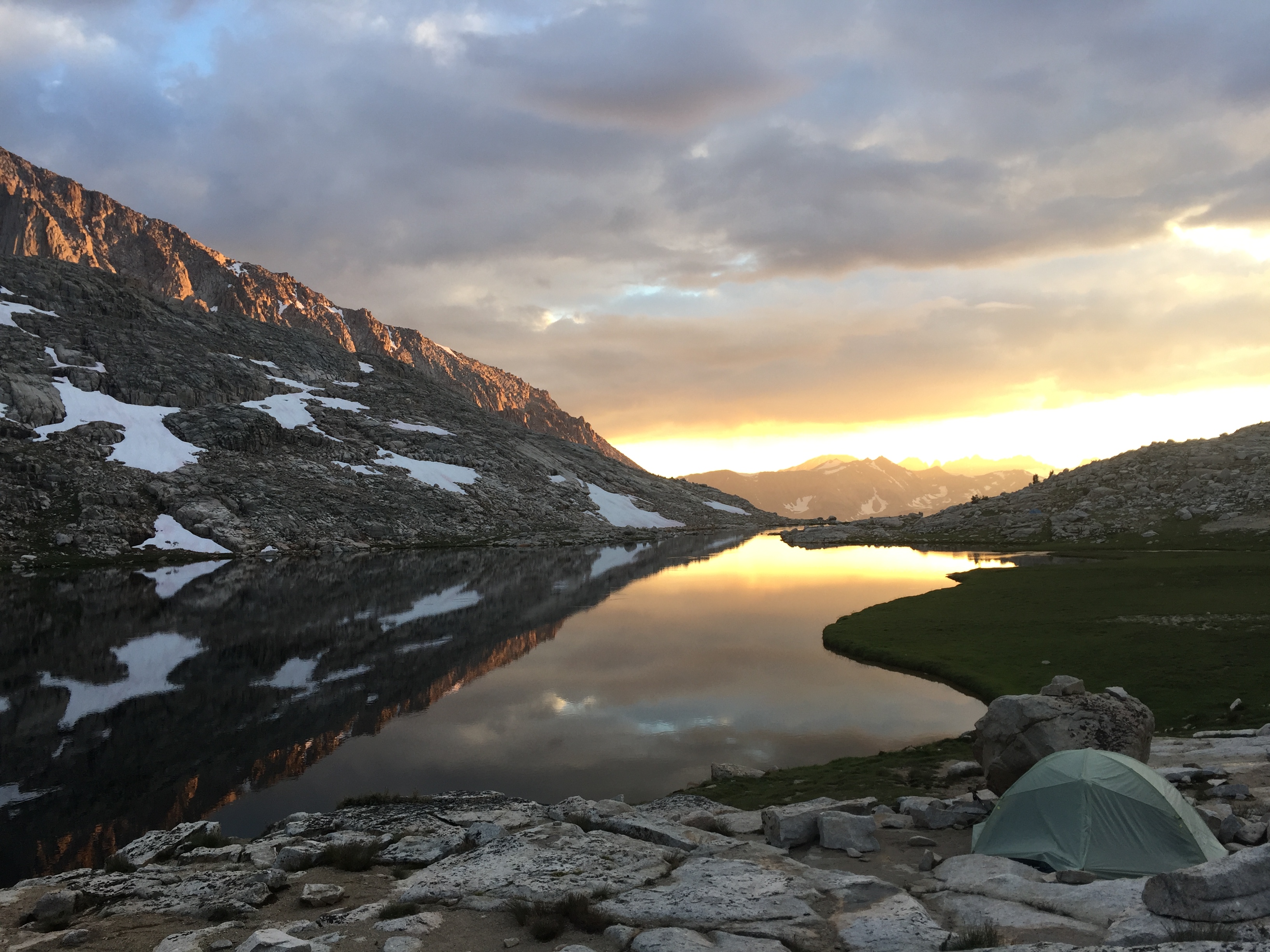
But what you may not know is just how beautiful the rest of the High Sierra is, with stunning
all day views of distant lesser known and unnamed peaks, beautiful mountain lakes and redolent
wildflowers. Because of all this, and the fact that we will hike along the famous
John Muir Trail (and Pacific Crest Trail), this is one of the most popular and sought after
hiking destinations there is.
While Mt. Whitney is officially located within
Sequoia & Kings Canyon National Park,
we will start and end in the
,
and pass through the John Muir Wilderness along the way.
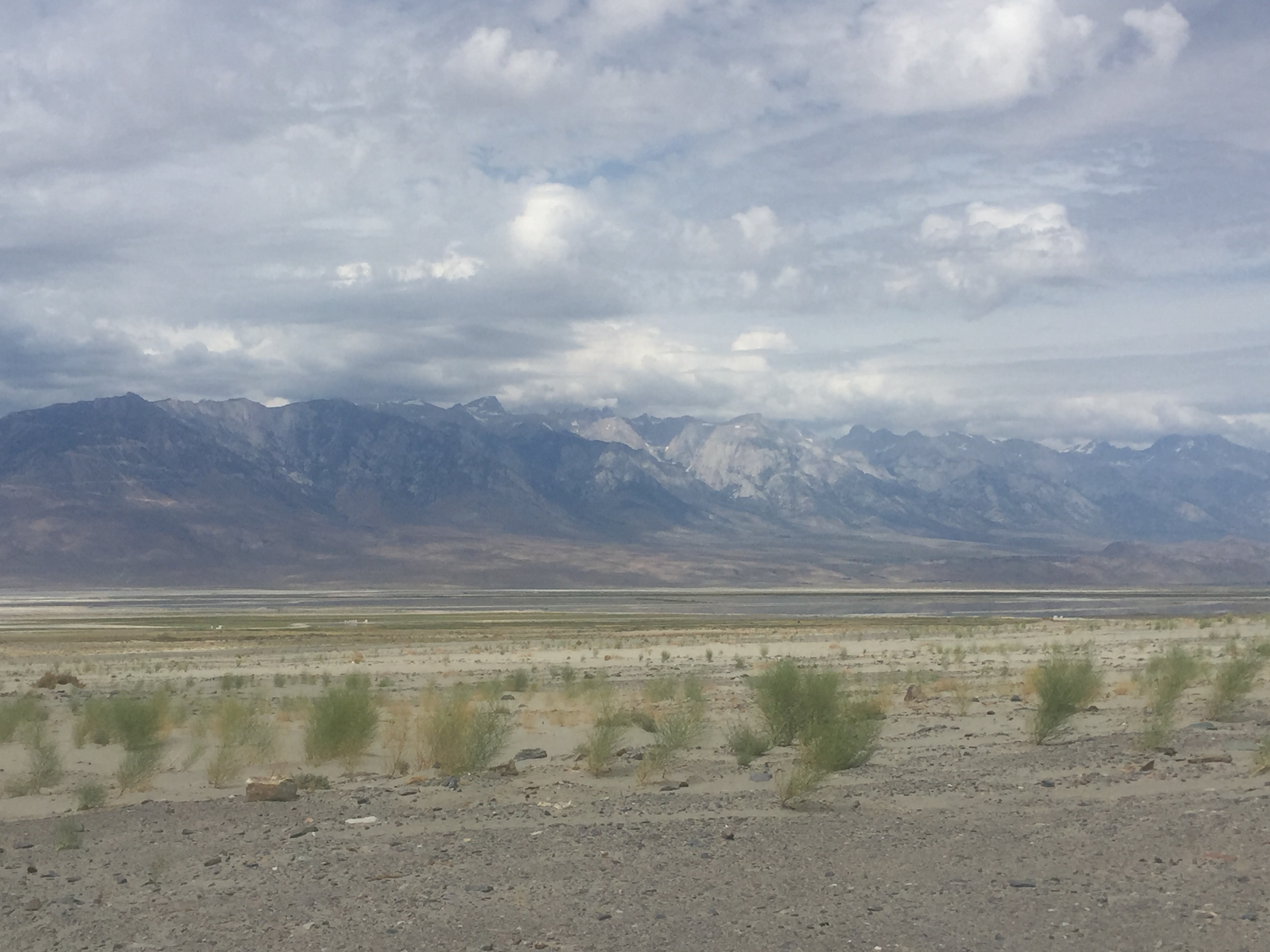
Our journey has 2 parts. The first half of the trip will take us through Sequoia and Kings Canyon National Park
North of Mt. Whitney. We will begin at the Onion Valley Trailhead North of Lone Pine and West of Independence, CA
and loop around the High Sierra, going off-trail through Center Canyon on the way up to lightly traveled Junction Pass.
One nice thing about starting here is that the elevation is already over 9000' to help us get acclimated to the
altitude quickly. There will still be plenty
of elevation gain (and loss) along the way, but at least we're not starting thousands of feet lower..
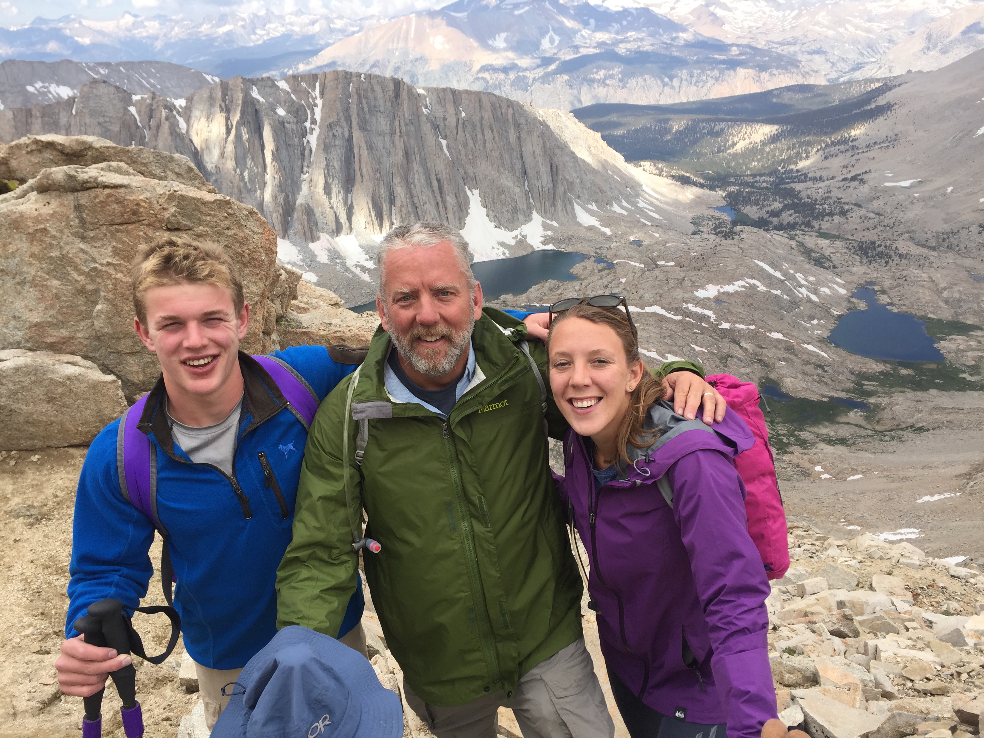
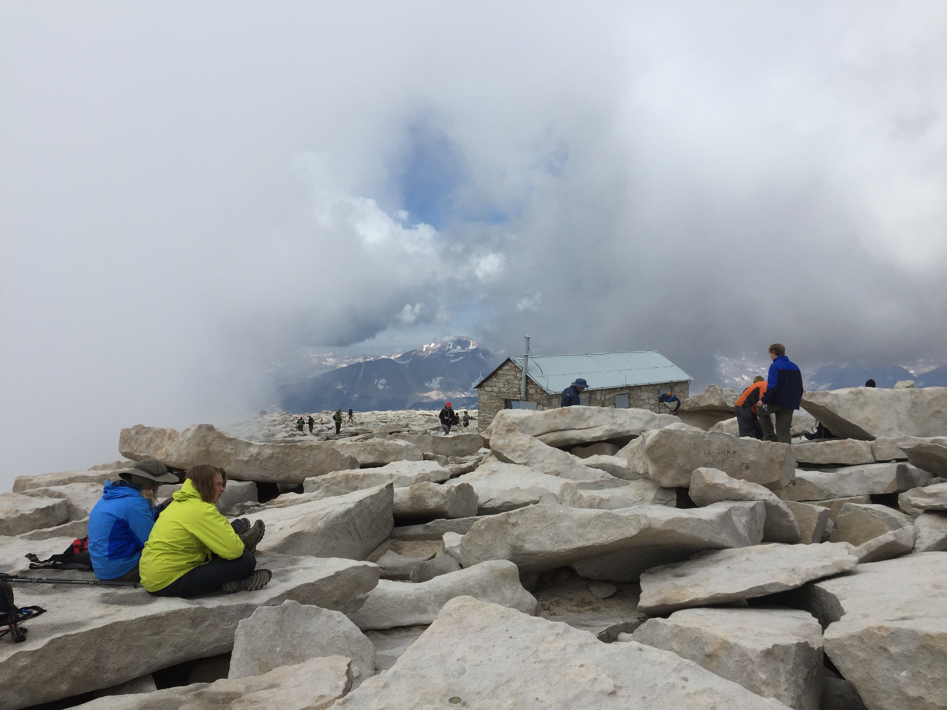
The 2nd half of the trip is the summit of Mt. Whitney. We will begin this part at the classic, way-too-popular Whitney
Portal. We'll camp at Trail Camp on our way to the summit, wake up before dawn to day-hike to the summit and return
back to Trail Camp that night.
Come summit the highest peak in the Lower 48 and create a lasting memory.
Why not join us this summer?
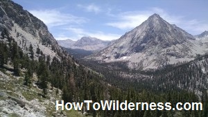
Topographical Map of Proposed Route
See CalTopo map
Weather
Weather is always an important concern when hiking. Expect daytime hiking temperatures well into the 70s
and nighttime temperatures in the 40s & 50s. However, be prepared for the possibility of day temperatures in
the 80s and as low as 30 plus violent afternoon thunderstorms. Here is the
historical August weather.
Probable Trip Leaders
Steve Silberberg
Rick Romine
Any Other Guide(s) TBD
Difficulty
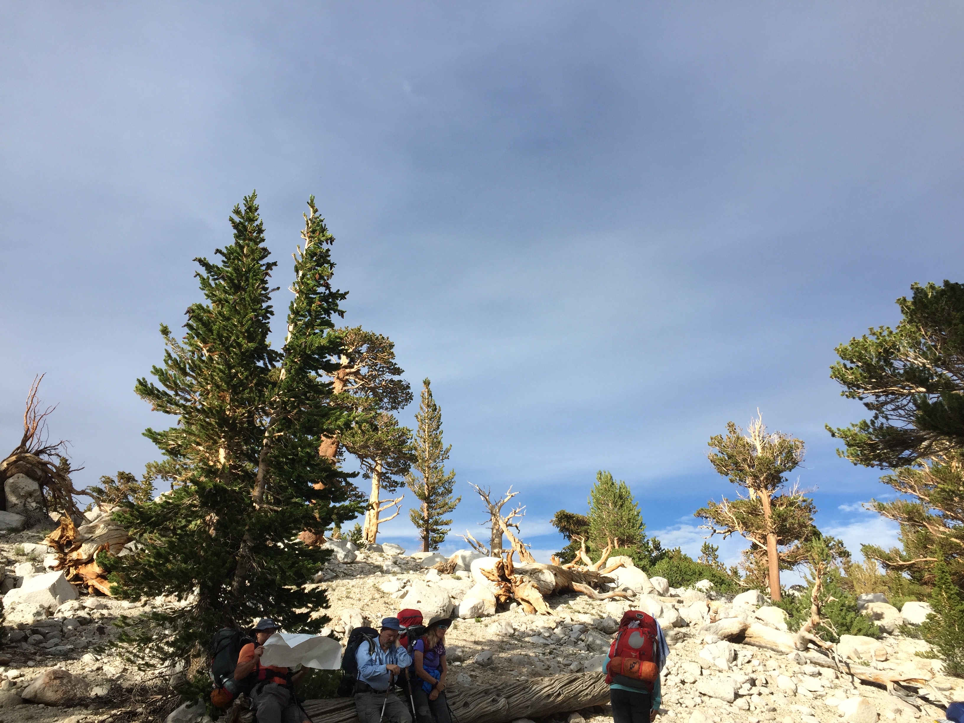
The trails through the Inyo National Forest and Sequoia & Kings Canyon National Park are well groomed
with good footing. However, elevation gain and loss can be dramatic. We will be going over Kearsarge Pass,
Junction Pass and summitting Mt. Whitney itself. Our trip will be a long, difficult journey at times
not only because of the distance we'll cover, but because the thin air at high elevation can induce
altitude sickness, especially to those who are coming from Sea Level. In order to combat this,
we will endeavor to stay super-hydrated.
That said, the continually changing incredible scenery that few ever get to see should keep you engaged
even when fatigue begins to set in.
Cost
$2000
per person double occupancy.
Here, double occupancy means that you will share a
room with another participant during the 1 hotel night. You will also be responsible for
transportation to and from Las Vegas, CA (LAS), personal equipment, restaurant meals
eaten off the trail and any gratuities for guides.
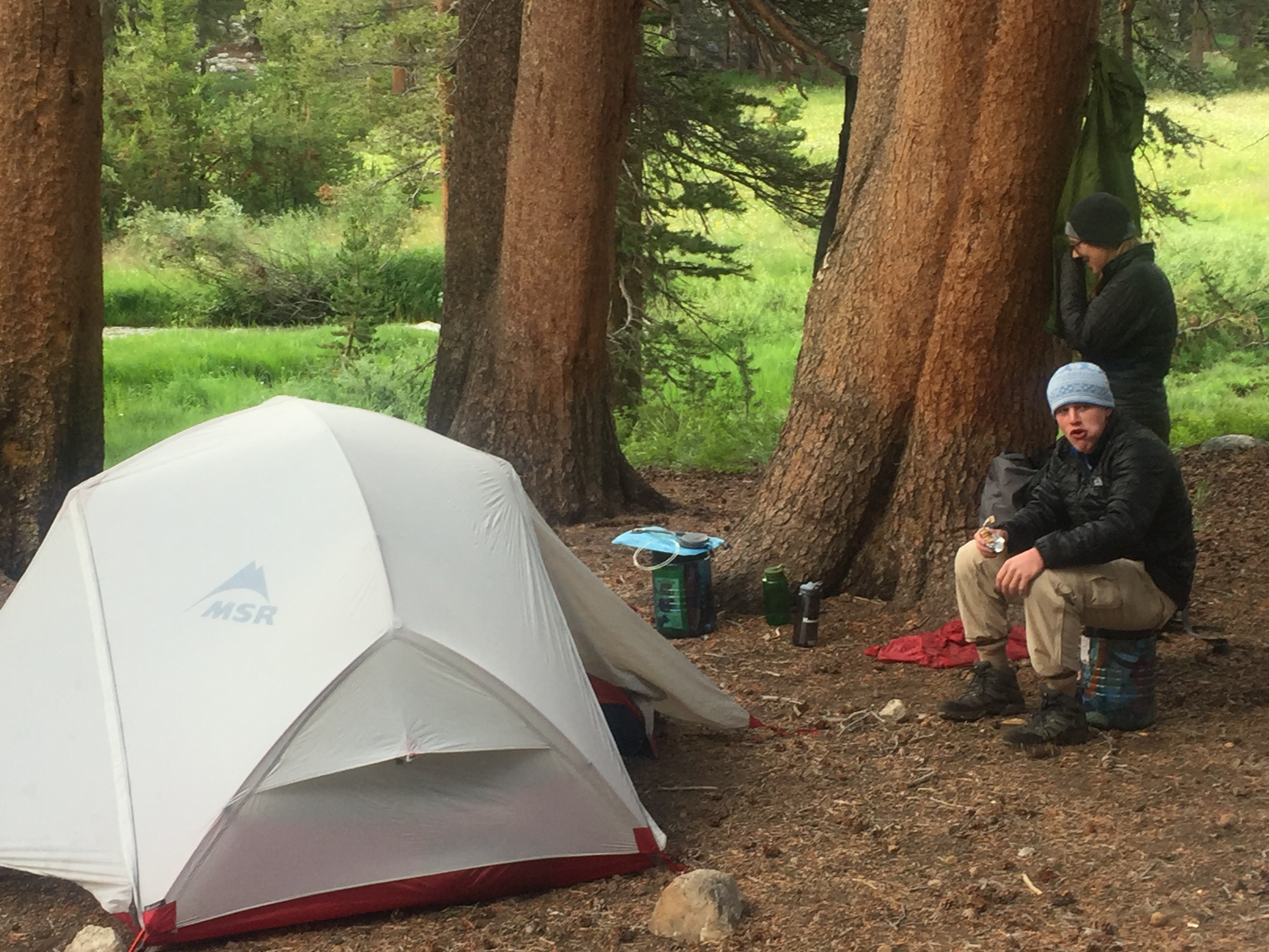
Covered expenses include 1 hotel night, 2 nights in a frontcountry campground, 7 days of
trail meals, ground transportation, National Park permits, National Forest Permits, Mt. Whitney
Summit permits and 2 awesome guides.
Tipping: In order to keep our prices competitive with (and hopefully favorable to) other outfitters,
we shamefully can’t pay our guides as much as we think they deserve. Like most other guiding services,
we rely on the generosity of our participants to make up this shortfall by tipping the guides.
While tips are not required or expected, if your guides have served you well, please consider
a gratuity so they can continue living their extravagant lifestyles of eating powdered meals,
sleeping in the dirt and pooping in smelly outhouses and small holes they've dug.
Notes
We must be continually mindful of the elevation and acclimate to it. On our first day of hiking, we will
traverse Kearsarge Pass at 11,709' and on the third day, we will hike over 13,200' Junction Pass -- higher than Forester Pass,
the highest point on the Pacific Crest Trail. Unfortunately, we won't have too much of an
opportunity to acclimate since the start of the trip (Las Vegas) is only at 2000' above sea level. And contrary
to popular belief, fitness level has little to do with altitude acclimation. Your body chemistry
is what dictates its effects. Staying super hydrated and limiting caffeine can help however.
Wag bags are required on Mt. Whitney. It is possible that there will be a box of them
left on the approach trail for our taking, you should probably carry one anyway. Unfortunately,
your full wag bag must be carried out with you.
Civil Rights Compliance
In accordance with Federal law and U.S. Department of Agriculture (USDA) civil rights regulations and policies,
this institution is prohibited from discriminating on the basis of race, color, national origin, sex, age,
disability, and reprisal or retaliation for prior civil rights activity.
(Not all prohibited bases apply to all programs.)
Persons with disabilities who require alternative means of communication for program information
(e.g., Braille, large print, audiotape, American Sign Language, etc.) should contact the responsible
State or local Agency that administers the program or USDA’s TARGET Center at (202) 720-2600
(voice and TTY) or contact USDA through the Federal Relay Service at (800) 877-8339. Additionally,
program information is also available in languages other than English.
To file a complaint alleging discrimination, complete the
USDA Program Discrimination Complaint Form, AD-3027, found online at
http://www.ascr.usda.gov/complaint_filing_cust.html,
or at any USDA office or write a letter addressed to USDA and provided in the letter all of the
information requested in the form. To request a copy of the complaint form, call (866) 632-9992.
Submit your completed form or letter to USDA by: (a) mail: U.S. Department of Agriculture Office of the
Assistant Secretary for Civil Rights, 1400 Independence Avenue, SW, Washington, D.C. 20250-9410;
(b) fax: (202) 690-7442; or (c) email: program.intake@usda.gov
Fitpacking operates under permit on the Inyo National Forest.
Back to top